NZ & CI – Day 1: The Tongariro Alpine Crossing
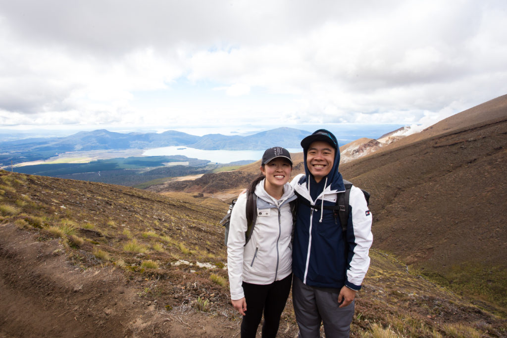
The Tongariro Alpine Crossing is one of the most popular day hikes in New Zealand. The National Park has dual World Heritage status for its natural features and cultural significance to the Maori people. It’s a one-way 19.4km (12.1 mile) hike over the volcanic terrain of Mt. Tongariro, passing the base of Mt. Ngauruhoe (aka Mt. Doom).
Before leaving for NZ, I had been really worried about the weather. In the few weeks before our trip, NZ had been suffering from storms, heavy downpour, strong winds, and flooding. Now that we’re back from NZ, I’m so incredibly happy to report that the weather was AMAZING (with the exception of one tiny little blip of bad weather).
We had arrived in NZ the evening before and spent that night packing our bags for the hike. I had gotten over a flu about 2 weeks before our trip and Peter was just barely getting over his flu. When we landed in NZ, I started having a sore throat and major congestion, which made me worried about how I would get through the Tongariro Crossing. I loaded up on Vitamin C and decongestants. Whatever I had, it significantly improved by the next day. Phew!
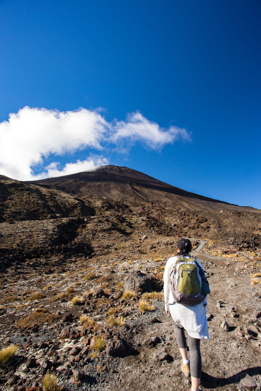
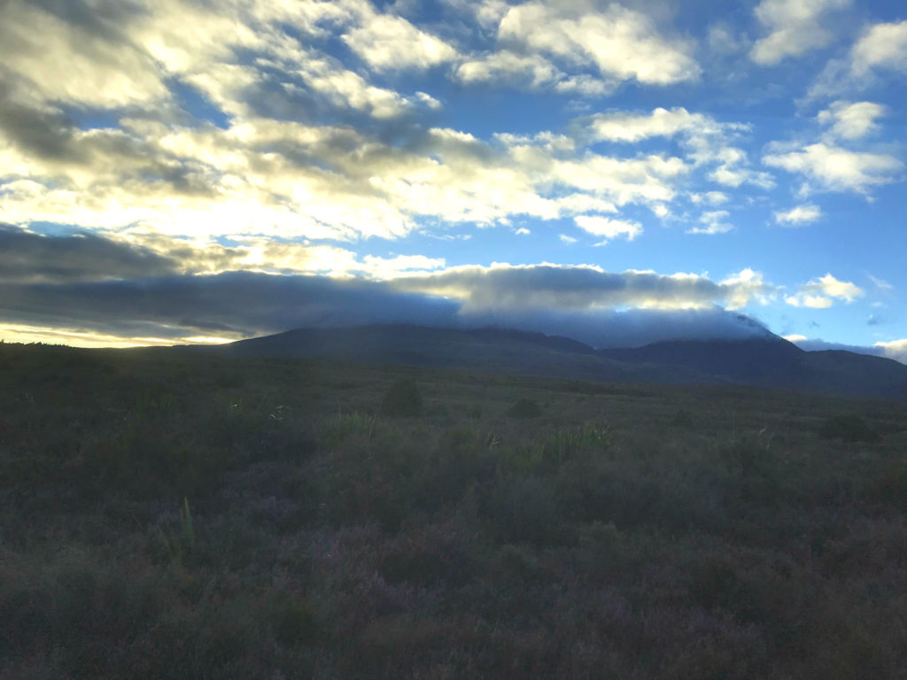
Early the next morning, we drove to the Ketetehai Car Park which was the END of the hike. We caught a bus that took us to the beginning of the hike and “ooh”ed and “ahh”ed at the beautiful morning sky.
During the bus ride, we were handed a map of the area and a breakdown of the hike. I laughed when I saw the little emojis depicting how easy/difficult some parts of the hike were. There were happy faces showing the easy, flat walks. Sad, exasperated faces showing the more difficult, steep climbs. And a exhausted “done.” face showing the last 2 hours of the hike. This little emoji did not prepare me for the last 2-3 hours of the hike. Not. At. All.
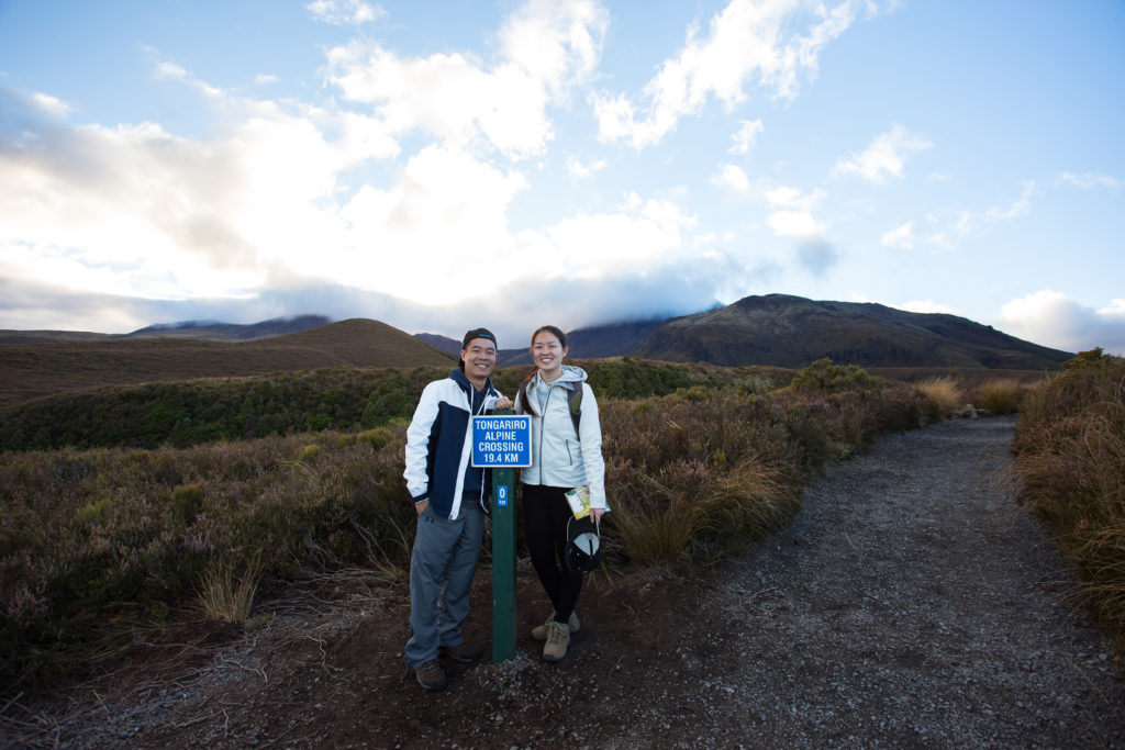
We had learned that the temperature can vary greatly throughout the hike so we made sure to wear a lot of layers and prepare ourselves for the possibility of wind or rain. With our many layers on and backpacks full of a LOT of water and our Subway lunch, we began the most exhausting hike we’ve ever been on.
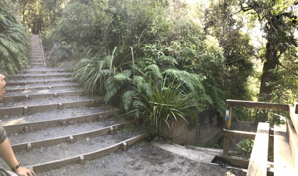
According to the map and smiley faces, I knew the first (approx.) 1 1/2 hours of the hike was considered easy and/or flat, followed by an hour of steep climbing up what is known as “The Devil’s Staircase”. After walking for (what I thought) was 1 1/2 hours, we started climbing sets of staircases. I told myself “Alright, this is The Devil’s Staircase. Let’s do this!”
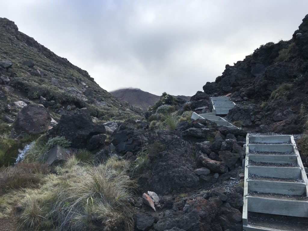
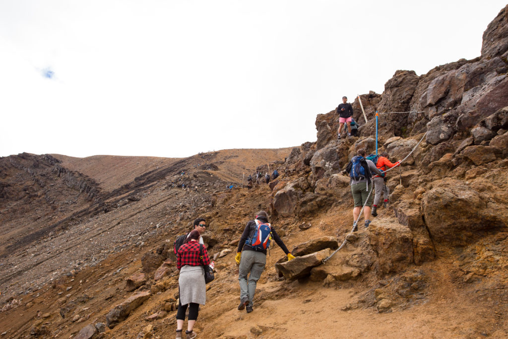
Unfortunately, I was wrong. So wrong. We continued walking, thinking we had passed the worst, but only to find ourselves faced with the actual Devil’s Staircase.

Knowing that I easily get winded and feel faint, I had to stop several times along the long and steep ascent to get my heart rate to slow down. I had also packed little packets of Propel to make sure I stayed properly hydrated throughout the entire hike. A combination of the Propel and the many breaks must have done something for me because we were able to FINALLY get through the hardest part of the hike.
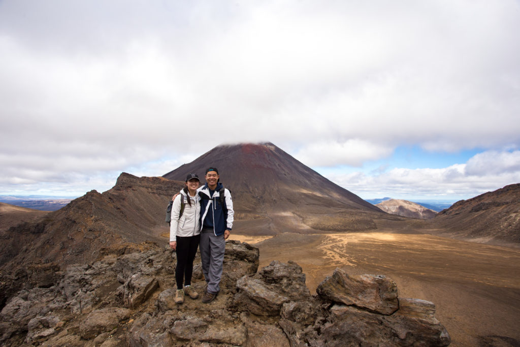
Before we started on The Devil’s Staircase though, we had reached the base of Mt. Ngauruhoe, aka Mt. Doom from the Lord of the Rings. As a big fan of LOTR, this was like a celebrity sighting for Peter. There were some low clouds covering the summit of Mt. Ngauruhoe but I guess it didn’t matter.. CGI had changed the look of the summit for the movie anyways. 😋
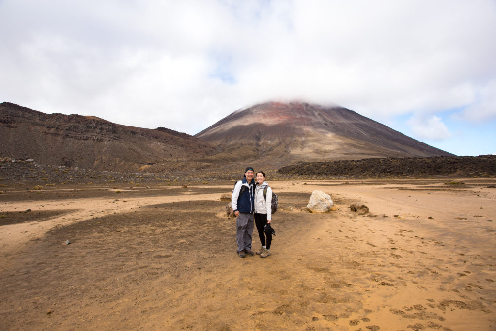
– after reaching the (almost) top of The Devil’s Staircase –
After we reached the top of The Devil’s Staircase, we stopped for lunch. Since we were pretty much at the highest point of our hike, the temperature had dropped and it was getting too cold and windy to sit still for too long. We devoured our Subway sandwich (which tasted AH-MAYZING) and then took off to finish the hike.
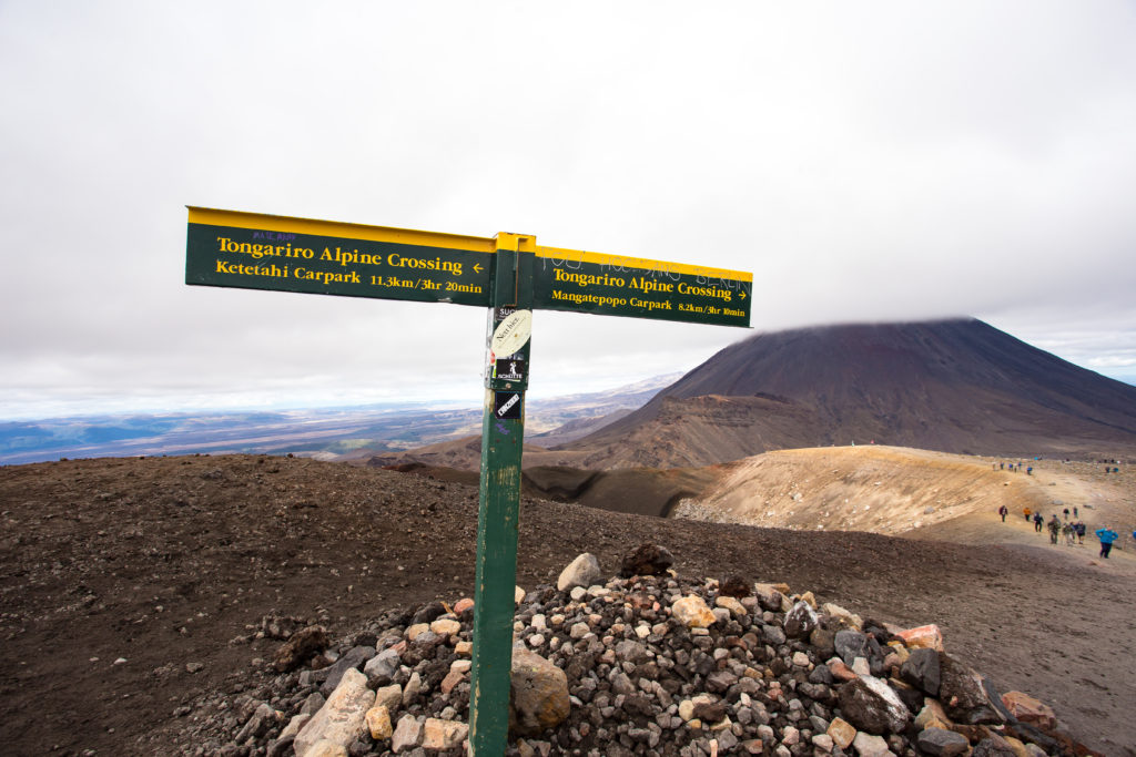
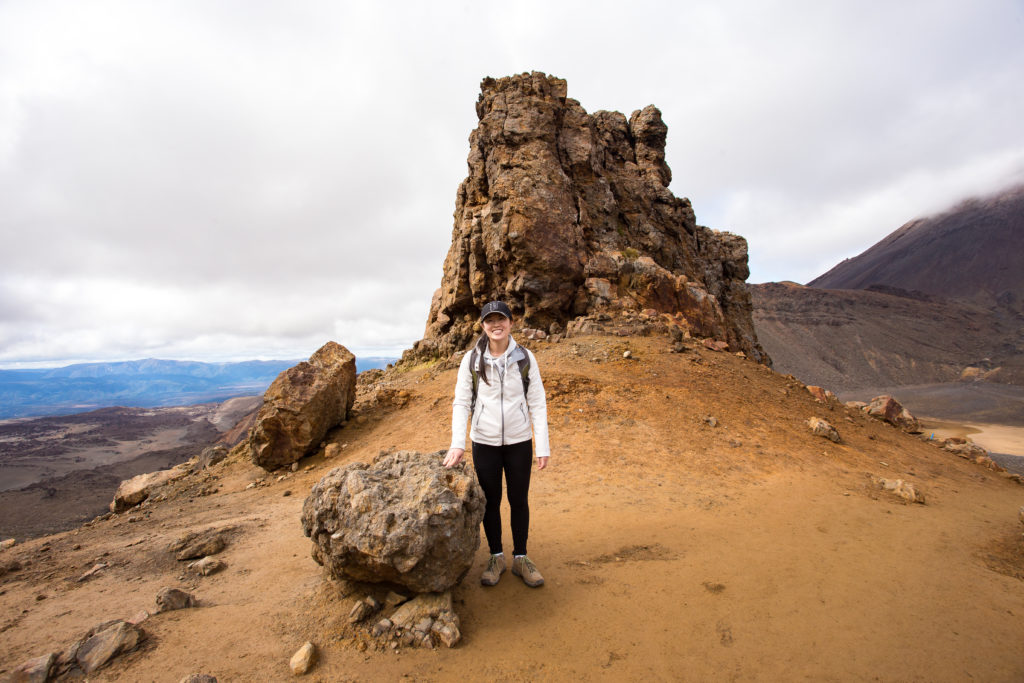
Finally, after about 4 hours, we had reached the halfway point. The rest of the hike was supposed to be a moderately difficult descent.
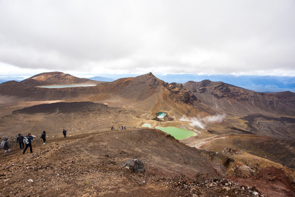

The descent was no joke. My legs were already exhausted from walking for several hours and powering uphill. About an hour of relatively flat walking was followed by what felt like 3 hours (but was really maybe 1 or 1 1/2 hours) of zig-zagging back and forth down the side of a mountain.
On the map with the emojis, the last point of interest before the end was the Ketetehai Hut, where a lot of people sit and rest. The map suggested not stopping for too long because your legs would stiffen up and make the last leg of the hike absolutely miserable. By this time, the sun had come out from behind the clouds it had been hiding behind all day. We stopped at the Ketetehai Hut for a quick minute, taking off our layers and munching on some cookies. When I stood up, my legs felt like jello. Maybe stopping wasn’t a good idea after all..
I didn’t think that the next 2 1/2 hours of downhill would be STAIRS. We were so tired and our leg muscles were ready to give out. After an hour of endless staircases, I was pretty much just swinging one leg in front of me and dropping my entire body down to the next step.
The end was no where in sight so we just kept putting one foot in front of the other until finally, FINALLY we saw the Ketetehai Car Park. 8 1/2 hours later.. SUCCESS!
We had dinner at a bar near our AirBnB because we were too tired to find anywhere else to go. By evening, our legs had stiffened up and we were walking kinda funny. We both agreed that the hike was worth the pain but that we would never, ever do the hike again. 😁
